ArcGIS Tutorial
August 14th, 2020
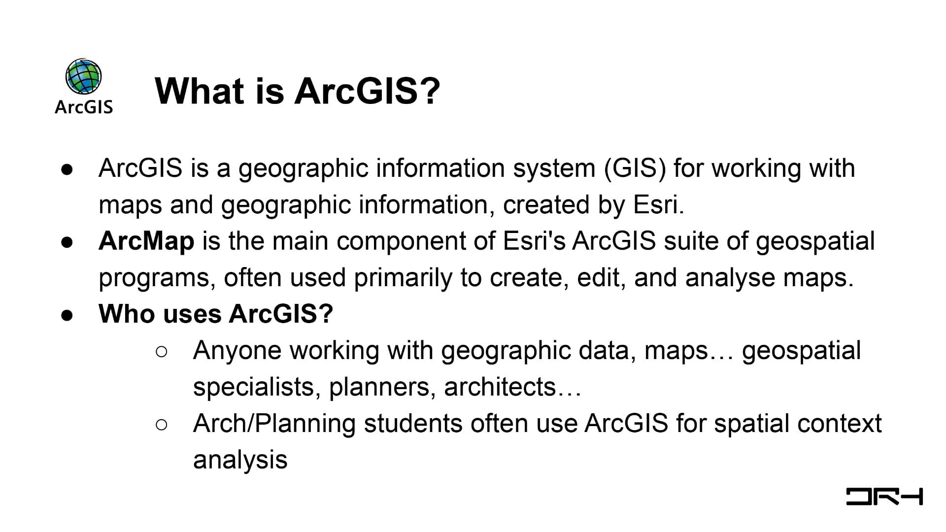
ArcGIS is a geographic information system (GIS) for working with maps and geographic information, created by Esri. ArcMap is the main component of Esri’s ArcGIS suite of geospatial programs, often used primarily to create, edit, and analyse maps.